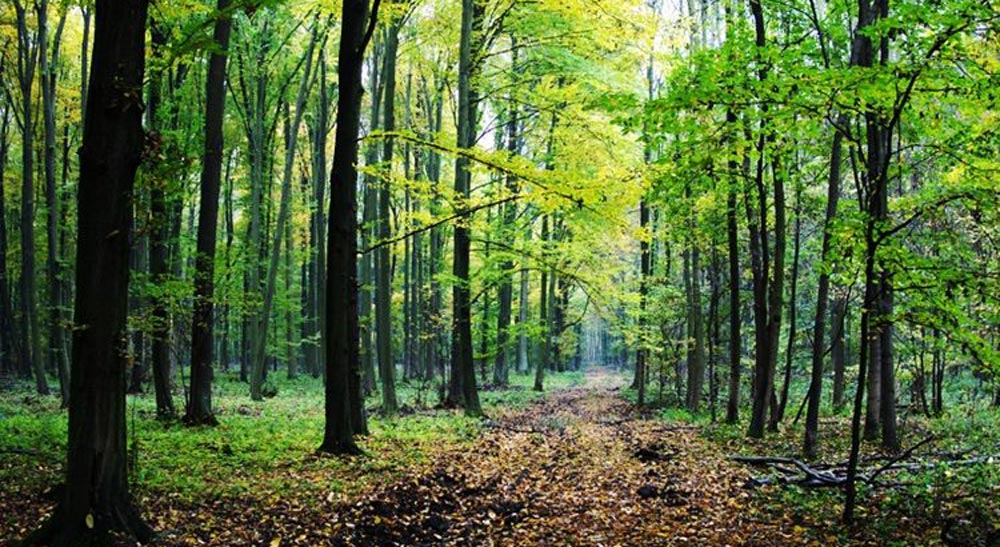
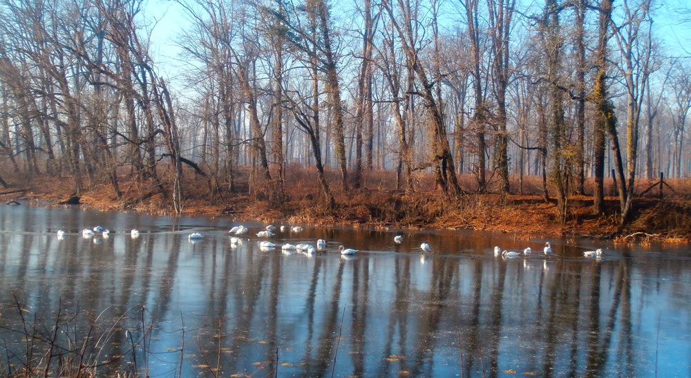
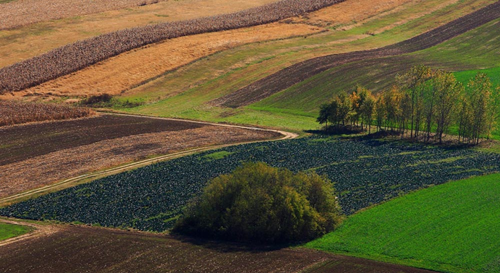
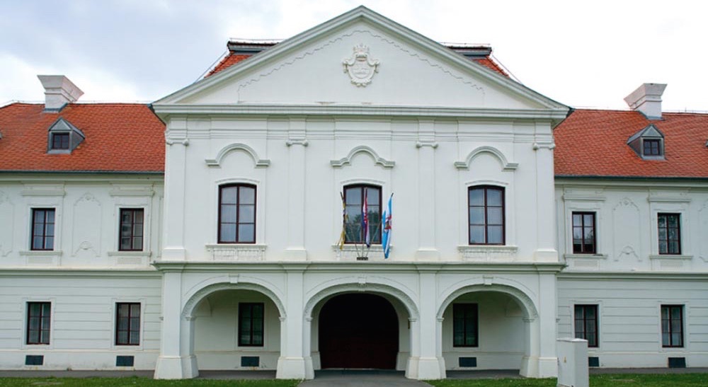
The Vukovar-Srijem County is located in the far north-east of the Republic of Croatia. It lies in the interchange between the rivers Danube and Sava, and occupies parts of the historic provinces of Eastern Slavonia and Western Srijem. The area of Vukovar-Srijem County is 2448 km². There are small differences in the area. The highest point is Čukala near Ilok (294 m above sea level), and the lowest in Posavina – Spačva (78 m). In the east, gentle slopes of the hill “Fruška gora” slope down to Vukovar. From the west, from the mountain Dilj, there is a Vinkovaci-Đakovo plain.
This area carries important river and land routes and crosses international traffic routes from the east to the west along the Danube River, and from the north across the Sava River to the Adriatic Sea.
DANUBE GUIDES CROATIA
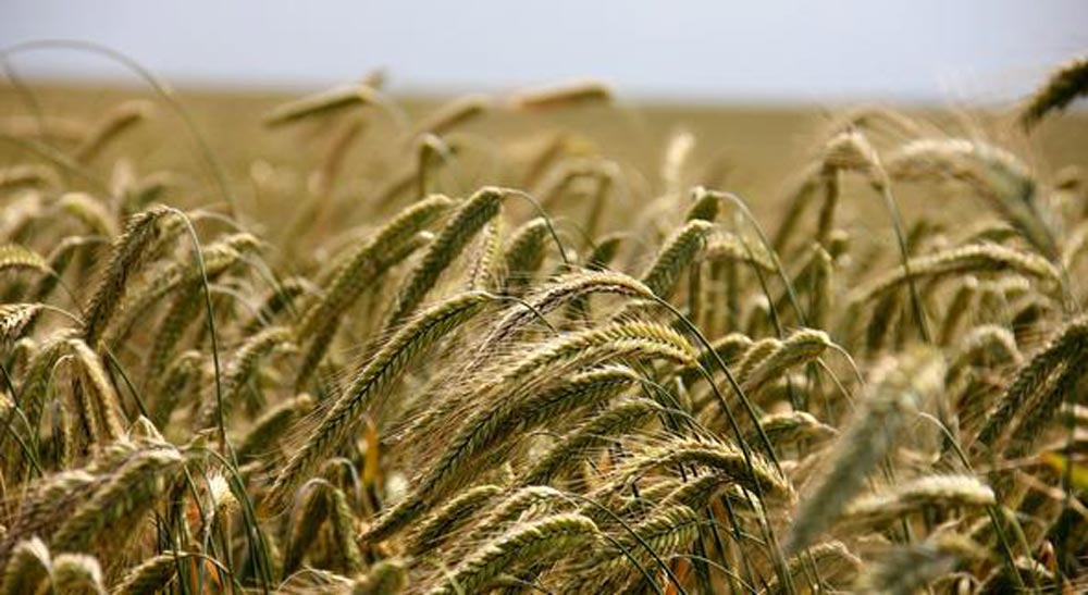
Vukovar Srijem County (Vukovar/Vinkovci / Ilok, Županja / Otok)In Vukovar Srijem County plants, vineyards, rivers and forests prevail. Vukovar-Srijem County has the most fertile fields (150,000 ha of very fertile land). The main products are: wheat, corn, sugar beet, tobacco. There are large processing capacities for the primary agricultural products: warehouses, mills, silos, refrigerators and factories.
According to the latest census published in 2011, 180,117 inhabitants live in Vukovar-Srijem County.
OFFERS
TEAM
+ Danube Guides in the Vukovar Srijem County

Andrian Draganić
+385 914008314
andrian.draganic@gmail.com
Institution:
Local Action Group Bosutski niz
Passionate about:
I am a communicative person who loves nature and history.
Guided tours:
• Tour of the Vukovar Srijem County
Qualification:
• Certified Danube Guide
Language:
• Croatian
• English

Antonio Perković
+385 997689862
perkovicantonio6@gmail.com
Guided tours:
• Tour of the Vukovar Srijem County
Qualification:
• Certified Danube Guide
Language:
• Croatian
• English

Barbara Ležaić
+385 997438455
barbara.vukic@vusz.hr
Passionate about:
I work at Vukovar Srijem County at the Department for Economy and Regional Development. I enjoy traveling and am a true lover of photography.
Guided tours:
• Tour of the Vukovar Srijem County
Qualification:
• Certified Danube Guide
Language:
• Croatian
• English
Hranimir Jurić
+385 989384953
hranimir.juric@vusz.hr
Passionate about:
I am working at Vukovar Srijem County at Department for Agriculture and Infrastructure as specialized expert in the area of irrigation.
Guided tours:
• Tour of the Vukovar Srijem County
Qualification:
• Certified Danube Guide and Danube Guides Trainer
Language:
• Croatian

Jelena Smolčić
+385 32308840
jelenasmolcic@yahoo.com
Passionate about:
Employee of Public Institution for Management of Protected Natural Values of the Vukovar Srijem County.
Guided tours:
• Tour of the Vukovar Srijem County
Qualification:
• Certified Danube Guide
Language:
• Croatian
• English

Katarina Draškić
+385 989007874
katarinadraskic@gmail.com
Passionate about:
Communicative and happy person, wife and mother of two children. Likes fast walking and staying in nature. Employed in Vukovar-Srijem County in the Department of Agriculture and Infrastructure.
Guided tours:
• Guided tours in Ilok–Šarengrad–Vukovar–Dalj-Erdut– Aljmaš
Qualification:
• Certified Danube Guide
Language:
• Croatian
• English

Krešimir Bošnjak
+385 32308840
kresobos@gmail.com
Passione about:
Employee of Public Institution for Management of Protected Natural Values of the Vukovar Srijem County.
Guided tours:
• Tour of the Vukovar Srijem County
Qualification:
• Certified Danube Guide
Language:
• Croatian
• English

Luka Škrabo
+385 912426541
skraboluka@gmail.com
Guided tours:
• Tour of the Vukovar Srijem County
Qualification:
• Certified Danube Guide
Language:
• Croatian
• English

Mario Raguž
+385 992642693
domton2@gmail.com
Passionate about:
Specialized at protected natural areas and protected plant and animal species on the area of Vukovar Srijem County. Love cultural heritage.
Guided tours:
• Tour of the Vukovar Srijem County
Qualification:
• Certified Danube Guide and Danube Guides Trainer
• Authorized Tourist Guide for the area of Vukovar Srijem County
• Experienced with educate programs for students of elementary schools and tourist offers for older generations (pensioners)
Language:
• Croatian
• English

Pavao Dragičević
+385 982642692
pdragicevic22@gmail.com
Passione about:
Employee of Public Institution for Management of Protected Natural Values of the Vukovar Srijem County. Specialized expert for protected species of plants and animals.
Guided tours:
• Tour of the Vukovar Srijem County
Qualification:
• Certified Danube Guide
Language:
• Croatian
• English

Silvija Šokčević
+385 32308840
silvija.beuk@gmail.com
Passionate about:
Employee of Public Institution for Management of Protected Natural Values of the Vukovar Srijem County.
Guided tours:
• Tour of the Vukovar Srijem County
Qualification:
• Certified Danube Guide
Language:
• Croatian
• English

Tena Matošević
+385 953694223
tena.matosevic@gmail.com
Passionate about:
I am a very creative person who loves animals and nature.
Guided tours:
• Tour of the Vukovar Srijem County
Qualification:
• Certified Danube Guide
Language:
• Croatian
• English

Passionate about:
Work at Nature Park Kopački rit in Osijek Baranja County at the Reception and Visitor Education Department.
Guided tours:
• Guided tour at the Nature park Kopački rit and Osijek Baranja County
Qualification:
• Certified Danube Guide
Language:
• Croatian
• English

Nataša Ciprijanović
Video
+38598645148
natasosk@ gmail.com
Passionate about:
Nature, ecology , preservation
Guided tours:
• Foto safari
Qualification:
• Certified Danube Guide
• Certified tourist guide and bird watching guide
Language:
• Croatian
• English

Nikolina Stjepanović
+385(0)996810727
nikolina@zeleni-osijek.hr
www.zlatna-greda.org/
Passionate about:
Passion for environmental conservation and sustainable tourism
Enthusiasm for sharing knowledge and inspiring others to protect natural habitats.
Guided tours:
• Explore and Save the Danube Wetlands: An Augmented Reality Adventure
Qualification:
• A degree in environmental science
• Experience in guiding eco-tours or conducting environmental education programs
• Extensive knowledge of the Danube wetlands, including local flora, fauna, and ecological significance.
Language:
• Croatian
• English
CONTACT
Danube Guides Contact Point in Croatia
Vukovar Srijem County
Županijska 9
32000 Vukovar
Croatia
Fon: +385 32454444
E-Mail: eu@vusz.hr
Web: www.vusz.hr
About the Vukovar Srijem County
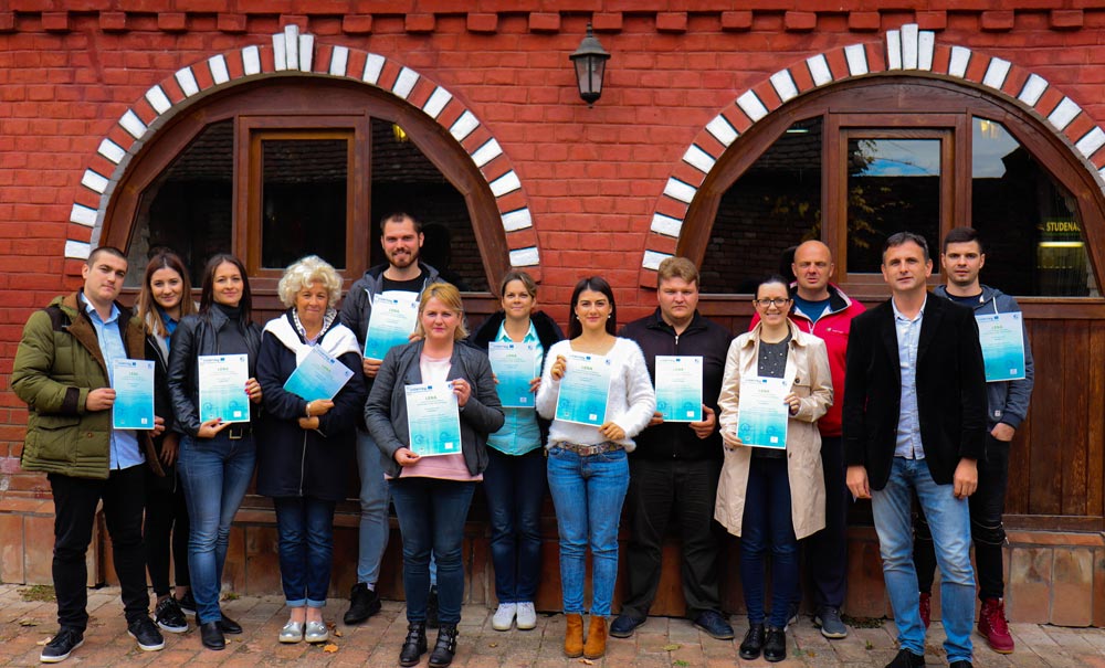
Vukovar Srijem County is the most eastern part of the Republic of Croatia. In this part of Croatia the Agriculture is the main sector in which people work. Besides the grain growing, people are also engaged in cattle breeding and pigs are the most represented from all animals in the farms in Vukovar Srijem County. Within the LENA project, during September and October 2018, a course for Danube Guides was held. Vukovar Srijem County as one of the partners organized this course through 4 modules each lasting 2,5 days. A total of 14 participants went through this course and met a number of topics such as: Danube History, Sustainable Development, Ecosystems, People with Special Needs, Sustainable Mobility, Product Development, Social Trends, Marketing and Communications and many others. The last day of each module was booked as a field day, and participants attended the Museum of Vučedol culture, ride with the “Bajadera” tourist ship which is a tourist offer in the city of Vukovar, visit Nature Park Kopački rit, drive with St. Catherine’s tourist boat in the Municipality of Nijemci and the visit protected landscape called “Virovi” near the city of Otok.

